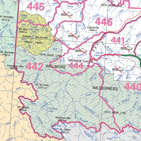
Sheep Creek Wildlife Management Unit (442)
Commencing where the Kakwa River crosses the Alberta‑British Columbia boundary in township 59, range 14, west of the sixth meridian; thence downstream along the right bank of the Kakwa River to the right bank of Copton Creek; thence upstream along the right bank of Copton Creek to its headwaters and the height of land between the Copton Creek drainage and the Horn Creek drainage; thence directly to the left bank of Horn Creek; thence downstream along the left bank of Horn Creek to the right bank of Sheep Creek; thence upstream along the right bank of Sheep Creek to the forestry road near Dry Canyon; thence southeasterly along the forestry road to the left bank of the Muddywater River; thence downstream along the left bank of the Muddywater River to the right bank of the Smoky River; thence downstream along the right bank of the Smoky River to the right bank of the Sulphur River; thence upstream along the right bank of the Sulphur River to the right bank of the South Sulphur River; thence upstream along the right bank of the South Sulphur River to its headwaters at the northern boundary of Jasper National Park; thence westerly along the northern boundary of Jasper National Park to the Alberta‑British Columbia boundary; thence northerly along the Alberta‑British Columbia boundary to the point of commencement.